Learn how to predict disabled ship trajectory in open sea using the new AI-driven software tool co-developed by IIT Bombay and IRS to optimize rescue operations.
In a sweeping push toward complete technological self-reliance in the oceanic sector, the Indian Institute of Technology Bombay (IIT Bombay) has joined forces with the Indian Register of Shipping (IRS). The premier academic institution and the prominent international ship classification society have signed a landmark Memorandum of Understanding (MoU). This historic alliance formally kicks off a mission-critical research and development initiative focused on the development of a state-of-the-art software mechanism designed to safeguard maritime operations.
The centerpiece of this collaboration is an advanced predictive computer system that explicitly addresses the challenge of tracking vessels lost at sea. With global logistics facing extreme weather events due to climate change, understanding the exact physics of maritime drift has shifted from a theoretical goal to a structural necessity. To truly secure international waters, engineers must crack the code on how to predict disabled ship trajectory in open sea environments under volatile marine conditions. This project directly addresses that fundamental emergency need.
The Technology Behind Open Sea Vessel Trajectory Forecasting
When a commercial container ship, cargo carrier, or bulk vessel suffers catastrophic mechanical breakdown or loses steering power, it becomes completely subject to localized marine physics. It transforms into an uncontrollable drifting mass, threatening collision with other shipping channels, environmental disasters if it runs aground, and extreme peril for the onboard crew.
To systematically track these drifting structures, maritime authorities have long sought highly accurate mathematical models. The newly conceptualized system uses complex hydrodynamics and predictive computational architectures to solve this specific vulnerability. By continuously feeding real-time meteorological data—such as immediate wind speeds, multi-layered ocean currents, and tide heights—into the processing engine, it can map the exact movement of a compromised vessel hours in advance.
Knowing how to predict disabled ship trajectory in open sea coordinates allows rescue agencies like the Indian Coast Guard and international search organizations to deploy assets with pinpoint precision. Instead of searching thousands of square miles of trackless ocean, response teams can narrow down the search grid to an incredibly tight radius, saving critical hours during life-or-death rescue missions.
Harnessing Advanced Software Systems for Crisis Mitigation
Beyond calculating raw coordinates, the joint development emphasizes systemic operational utility. The project is focused on designing dedicated ship drift prediction tools for maritime emergency response that can run seamlessly under severe time constraints. In an emergency, dispatchers do not have the luxury of manually calculating variables or configuring separate software programs.
To bridge this operational gap, the engineers at IIT Bombay are engineering an entirely automated analytical module. This module will instantly compile mathematical trajectory forecasts into detailed, actionable crisis reports. These automated reporting features are explicitly designed for native integration directly into the pre-existing IRS Emergency Response System (ERS) software pipeline.
When a ship logs a distress call, the combined ERS platform will process the telemetry data automatically. Within seconds, it will generate a step-by-step visual vector map detailing where the ship will drift over the subsequent 12, 24, and 48 hours. This structural integration ensures that emergency operators can transition from receiving a crisis signal to launching an optimized rescue asset layout in a matter of minutes.
Enhancing National Security Through Indigenous Engineering
This strategic collaboration holds profound geopolitical and industrial importance for the South Asian maritime domain. For years, domestic port operators and regional classification groups relied heavily on western proprietary software tools for hydrographic forecasting. This initiative represents a massive structural shift toward establishing comprehensive made in india maritime safety software solutions.
By building the digital architecture inside the country, IIT Bombay and the IRS ensure that the underlying code can be modified dynamically to suit localized coastal topographies, such as the distinct wave behaviors of the Arabian Sea and the Bay of Bengal. As an Institute of Eminence, IIT Bombay is channeling its extensive computational resources, machine learning departments, and ocean engineering labs into the venture. The resulting system will not only safeguard Indian sovereign waters but will provide the domestic shipping industry with top-tier, cost-effective safety infrastructure that reduces operational dependency on foreign software vendors.
Leveraging Strategic Alliances to Drive Global Standards
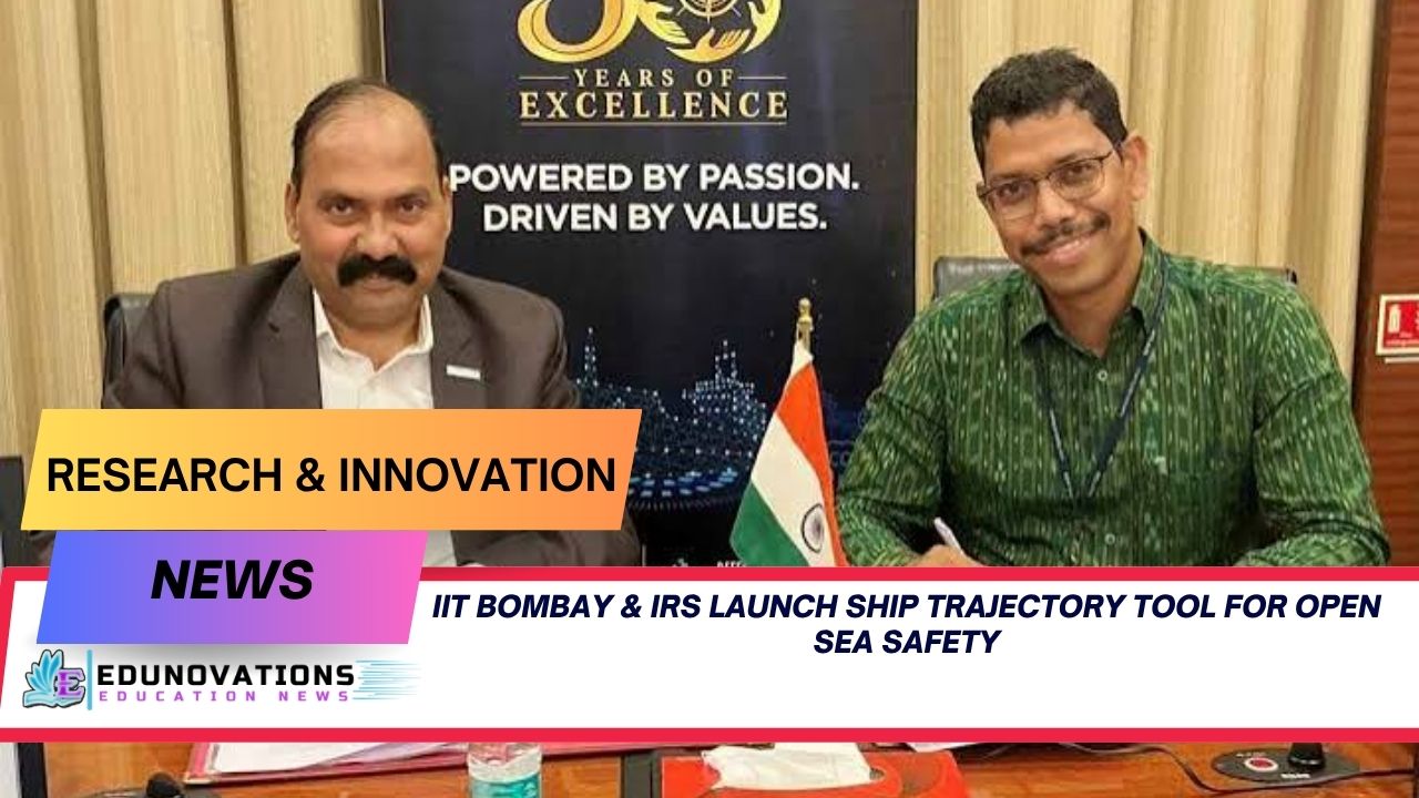
The formal execution of the MoU was completed by key institutional leaders. Mr. P.K. Mishra, the Joint Managing Director of the Indian Register of Shipping, alongside esteemed engineering faculty leaders from IIT Bombay, officially formalized the long-term technological framework.
During the signing event, both organizations noted that this initiative serves as a definitive case study demonstrating the immense benefits of industry academia collaboration in maritime sector modernization. While academic institutions possess cutting-edge research methodologies and theoretical breakthroughs, industrial bodies like the IRS understand the raw, unvarnished realities of practical field deployment and compliance standards.
When these two ecosystems unite, abstract laboratory algorithms transform into hardened, real-world tools capable of surviving the brutal operational demands of the high seas. This collaboration aligns with national strategic roadmaps like the Maritime India Vision 2030, setting a profound precedent for how institutional knowledge can directly feed into large-scale industrial upgrades.
                                  [EMERGENCY TELEMETRY INPUTS]
                                (Wind, Wave, Current Data Streams)
                                                │
                                                ▼
                            ┌───────────────────────────────────────┐
                            │    IIT BOMBAY TRAJECTORY ENGINE       │
                            │  (Calculates Hydrodynamic Drift Paths)│
                            └───────────────────────────────────────┘
                                                │
                                                ▼
                            ┌───────────────────────────────────────┐
                            │    IRS EMERGENCY RESPONSE SYSTEM      │
                            │  (Seamless Automated Integration)      │
                            └───────────────────────────────────────┘
                                                │
                                                ▼
                                  [ACTIONABLE RESCUE INTELLIGENCE]
                             (Rerouting Protocols & Coordinate Grids)
Mechanical Insights into Drift Physics and Automation
To appreciate the sheer complexity of the software being co-developed, one must look at how do emergency response systems calculate vessel drift fields in real-time. The calculation relies on a multi-variable physics matrix often referred to as the leeway drift equation.
- Hydrodynamic Drag: The portion of the ship’s hull submerged beneath the waterline acts as a massive underwater sail, pushing against localized oceanic currents.
- Aerodynamic Leeway: The exposed upper deck and superstructure catch the wind, forcing the vessel to slide sideways across the water surface at distinct angles relative to the wind vector.
- Object Geometry: A completely empty, high-sided car carrier will drift at a completely different speed and direction compared to a heavily loaded, low-profile oil tanker under the exact same weather conditions.
The upcoming software system isolates these variables, runs them through dynamic hydrodynamic simulations, and cross-references them with real-time marine weather feeds. It answers the fundamental question of how to predict disabled ship trajectory in open sea coordinates by treating every vessel as a unique physical entity rather than using generic, inaccurate assumptions.
Broad Institutional Commentary and Strategic Horizons
Reflecting on the far-reaching impact of the initiative, Union Minister for Ports, Shipping and Waterways, Sarbananda Sonowal, recently noted during a maritime advancement forum that India’s maritime destiny relies entirely on technological self-reliance and deep academic integration. He emphasized that building localized, highly sophisticated digital defense and rescue tools is paramount to securing India’s positioning as a dominant global blue economy hub.
The insights provided by leading professors at the institute further reinforce this vision. Prof. Manas Behera and Prof. V.K. Srineash of IIT Bombay heavily highlighted the long-term importance of this development. They noted that the project underscores the institute’s foundational commitment to active industry-academia interaction. By combining resources, the ultimate goal remains to build robust, highly reliable software platforms that will drastically optimize maritime safety, rapid sea rescue, and general emergency support operations globally.
To expand your technical knowledge on engineering principles, you can explore specialized educational tracks through NCERT Courses. For individuals preparing for competitive exams or tracking strategic state initiatives, staying updated with global updates is highly recommended via Current Affairs. Detailed study guides are available under Notes, while your knowledge application can be validated via targeted MCQ’s. Extensive visual explanations can be accessed directly through curated Videos, and strategic academic maps can be analyzed via the official Syllabus section. Additionally, structural learning materials can be retrieved at Downloads of Free NCERT PDFs along with comprehensive visual aids via NCERT Mind Maps. Schools looking to upgrade their digital tracking and administrative frameworks can explore customized technical engineering resources by connecting with professional external software developers at Mart Ind Infotech.
The development phase of this software is moving forward at an accelerated pace. Once fully deployed across the entire network of IRS-classed ships, this predictive trajectory asset will serve as a resilient digital shield, ensuring that no vessel is ever truly lost to the unpredictable forces of the open ocean.
Toppers Use Mind Maps to score more than 95%
NCERT Class 11th Commerce Mind Maps
Add to cartOriginal price was: ₹999.00.₹199.00Current price is: ₹199.00.NCERT Class 12th Chemistry Mind Maps
Add to cartOriginal price was: ₹199.00.₹75.00Current price is: ₹75.00.NCERT Class 12th Commerce Mind Maps
Add to cartOriginal price was: ₹999.00.₹199.00Current price is: ₹199.00.NCERT Class 12th Science Mind Maps
Add to cartOriginal price was: ₹999.00.₹199.00Current price is: ₹199.00.NCERT Mind Maps For Class 10th
Add to cartOriginal price was: ₹999.00.₹199.00Current price is: ₹199.00.





Purchase Today
Frequently Asked Questions (FAQs)
1. Why is it vital to know how to predict disabled ship trajectory in open sea coordinates?
Knowing how to predict disabled ship trajectory in open sea grids is absolutely critical because it completely removes the guesswork from maritime rescue operations. When a ship loses propulsion, ocean currents and heavy winds cause it to drift rapidly. Accurate trajectory prediction allows response teams to pinpoint the ship’s exact future location, dramatically reducing search times, saving crew lives, and preventing drifting vessels from colliding with crowded shipping lanes or running aground on vulnerable coastlines.
2. What are ship drift prediction tools for maritime emergency response?
These are specialized computational software suites that use real-time environmental data—such as wind velocity, wave heights, and ocean currents—combined with the specific physical dimensions and weight of a vessel to calculate its drift path. These automated systems allow emergency dispatchers to instantly visualize where a disabled vessel will travel over a prolonged timeframe during a crisis.
3. How do the new made in india maritime safety software solutions protect domestic waters?
By developing localized, indigenous software, Indian maritime authorities can customize predictive models to perfectly fit the unique environmental, tidal, and current patterns of the Indian Ocean, Arabian Sea, and Bay of Bengal. This eliminates reliance on generic foreign software systems, ensures complete data sovereignty, and reduces operational costs for regional ports and shipping companies.
4. What are the core benefits of industry academia collaboration in maritime sector development?
This collaboration successfully merges cutting-edge theoretical research, data science capabilities, and laboratory testing from elite academic institutions like IIT Bombay with the practical, real-world operational experience and safety compliance standards of industrial entities like the IRS. This ensures that the developed software is both scientifically advanced and practically viable for intense field operations.
5. Exactly how do emergency response systems calculate vessel drift during a storm?
Modern emergency systems use complex leeway drift equations that calculate two main forces: hydrodynamic drag (the action of ocean currents pushing against the submerged hull of the ship) and aerodynamic leeway (the action of heavy winds pushing against the exposed upper structure of the ship). The software processes these forces against the ship’s unique structural profile to plot an accurate path.
6. Who are the primary signatories and leaders involved in this safety initiative?
The primary signatories who formalized this landmark agreement include Mr. P.K. Mishra, the Joint Managing Director of the Indian Register of Shipping (IRS), alongside esteemed faculty representatives from IIT Bombay, including Prof. Manas Behera and Prof. V.K. Srineash, who are spearheading the technical development phases.
7. Will the new trajectory prediction tool integrate with older maritime software systems?
Yes, the project explicitly focuses on building a highly compatible computer program that features automated report generation capabilities. This allows the tool to seamlessly integrate directly into the existing IRS Emergency Response System (ERS) software pipeline without requiring ports or ships to overhaul their legacy software infrastructures.
8. How does this project align with broader national shipping visions?
This technological development aligns perfectly with the Government of India’s Maritime India Vision 2030 blueprint. This national strategy aggressively promotes digital transformation, enhanced maritime safety, modern port optimization, and complete technological self-reliance (Atmanirbhar Bharat) across all domestic and international shipping corridors.
9. Can this technology be applied to objects other than large commercial ships?
Absolutely. The hydrodynamical algorithms designed by the research team are fully capable of predicting the drift patterns of smaller vessels, floating shipping containers, disabled platforms, and other floating objects in the open sea, making it an incredibly versatile asset for general maritime safety and environmental protection.
10. How will this tool change the speed of real-time search and rescue operations?
Currently, search operations often require vessels or aircraft to scour massive areas of the ocean due to unpredictable drifting variables. With this tool, the system automatically generates a highly localized prediction path within seconds of a distress call. This allows search teams to head straight to the projected intercept coordinates, cutting response times by hours.